Tour of the Roc de Tavaneuse
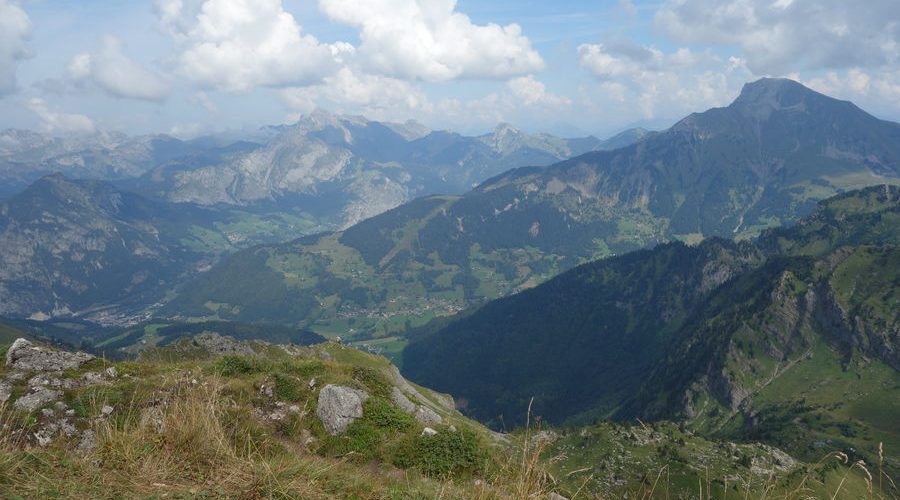
This sportive walking trail will enjoy you with its panoramic landscapes.
Climbing time: 3h40
Descent time: 2h20
Vertical drop: 1045m
Route description :
Mark 1 : take the path to the alpine chalets of Les Serranants. Before the top chalets, turn left and pass the fence to reach the big boulder.
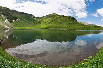
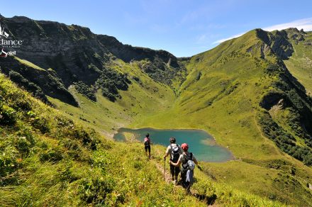
Marked 2: from there, 3 possible routes. On the left, the lake of Tavaneuse; on the right, the Damoz des Moulins pass and in the middle, the Savolaire pass which interests us. Go on the large flat ground to find the path that climbs the Savolaire coomb.
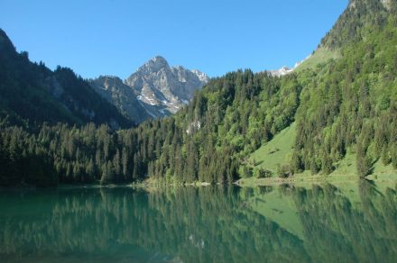
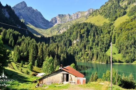
Mark 3: you reach the Savolaire pass by a steep slope. Go straight down to reach the Brion chalets. You are in the Aulps valley.
Marker 4 : from the chalets, take the direction of the col de Tavaneuse on the left, the track that goes up through the mountain pasture becomes a narrow and steep path. You pass the small pass called Les Portes de Lens.
At the junction, turn left to go up to the col de Tavaneuse.
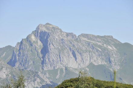
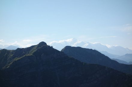
Mark 5: you are at the highest point of the route (1,997 m), the Col de Tavaneuse. Take the time to observe the panoramic views around you, including the peak
from Nantaux. Go down towards the lake of Tavaneuse that you reach by its weir, left bank.
Mark 6: from the weir, the path falls over the Tavaneuse chalets, it becomes steep and difficult (handrail) especially if the ground is wet.
Reach Prétairié gently along the path by returning to the Serranants chalets or more quickly by branching off to the right through the forest.
of alders.
Services & Equipement
- Car park
Ouverture
From 01/06 to 01/11.
Subject to favorable snow and weather conditions.
Tarifs
Free access.
Complément accueil
Parking Prétairié situated at 5 minutes from the town center, thake the direction of Charmy l'Envers. Parking Prétairié situated at 5 minutes from the town center, thake the direction of Charmy l'Envers
Langues parlées
- French
Bien configurer les codes de template des formulaires dans le back office, Options -> Formulaires